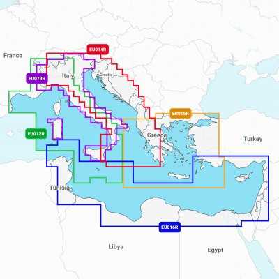


Navionics+ Small 2 Cartography SD MICROSD Zone Maps 61920552MSD
Navionics+ Small 2 Cartography SD MICROSD offers greatest detail on seas and lakes for going out with your motor boat, going fishing or sailing. You will have the most accurate navigation details on your GPS plotter.
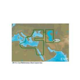
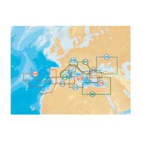
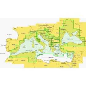
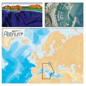
NOTE: SPECIFY IN THE ORDER NOTES THE AREA OF INTEREST.
Navionics+ Small 2 Cartography SD MICROSD
Navionics+ Small 2 is the most popular chart with boaters and fishermen all over the world, offering the largest coverage areas along with the absolute best detail. A Gold chart can seamlessly cover an entire continent and yet be able to zoom down to a resolution of 1 meter (3ft), with an abundance of data derived from the best available sources and augmented with Navionics' own surveys and the Community Edits. Features include a clear, easy to use, familiar paper-like display of all detail available from the best nautical charts.
Plus:
- Tides & currents.
- Port plans.
- User-selectable safety depth contour.
- Marine services with phone numbers.
- Navigation aids with XPlain.
- Marsh areas.