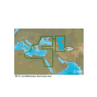

C-MAP MAX-N+ W E. MED BLACK CASPIAN Cartography 000-11894-001 N102264220642
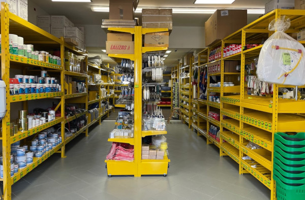
Visit us in our shop
WE ARE AT YOUR DISPOSAL AT OUR POINT OF SALE
Not just online! Come and visit us also in the shop!
In our store you will find a wide selection of selected items and you will be assisted by our specialized staff with over a decade of experience in the nautical sector.
Everything for the boat ... deck equipment, anchoring and mooring, hydraulic and electrical systems, photovoltaics, stainless steel hardware, antifouling and paints, engine spare parts, on-board safety, sailing accessories, nautical instruments, GPS, depth sounders and much more!
We are in San Giorgio di Nogaro in the province of Udine, an important basin, located in the Bassa Friulana, bathed by the Corno river ... a few km from well-known destinations such as Lignano, Grado, Trieste etc.
Nautimarket Europe s.r.l., Via Marittima 17, 33058 San Giorgio di Nogaro (UD) Italy

(modificale nel modulo Rassicurazioni cliente)

(modificale nel modulo Rassicurazioni cliente)

(modificale nel modulo Rassicurazioni cliente)
C-MAP MAX-N+ W: E. MED BLACK CASPIAN Cartography 000-11894-001
MAX-N+ charts provide accurate, up-to-date information, unique features and specialized content to enhance every boating adventure; provide boaters with the accurate, up-to-date vector chart detail including Depth Areas and Contours, Spot Soundings, NavAids, Light Sectors, Wrecks/Obstructions, Small Craft Facilities and more. The detail and information available charts lets boaters approach any harbor and inlet with confidence. The perfect conclusion to a long voyage, sailing adventure or exciting day of bluewater fishing.
• Easy Routing™
• Dynamic Raster Charts
• High-Res Satellite Imagery
• High-Res Bathy Fishing Charts/Sport Fishing Data
• 3D-View
• Custom Shaded Depths and Aerial Photos
• Detailed Marina Charts
• High Resolution Bathy Data
• Dynamic Tides and Currents
Plus all of the features in MAX-N+.